Total Pageviews

Tuesday, July 26, 2011

Bill Visits a Coal Mine

The Usibelli Coal Mine is just outside of Healy, where we live. It is the only active coal mine in Alaska. It exports coal to South Korea and Chile. The rest goes to power plants in Alaska.
One of the trucks used to move the coal from the pit to where it is shipped by train to Fairbanks, Anchorage or Seward.

Bill with a hard hat on standing next to one of the tires on the dump truck

Hard to read this but it does say Good Year, Bob.

One of the veins of coal along the edge of the road. All the dirt above the coal has to be moved out of the way so they can get to the coal.

The crane and bucket used to move the dirt out of the way so the coal can be trucked out. Regular sized  backhoes are used to load the coal onto the big dump trucks.

The main boom on the crane is as long as a football field. They pick dirt up on the left and move it over to the piles on the right.

Another view of the seam of coal along the side of the road

A model of the big crane and bucket.

The original tractor used when the mine first opened in 1943. It still runs!

Wednesday, July 13, 2011

Flowers at Princess Denali Lodge

A headless Ryan (on the left) and his two dogs.


Daisies and Fireweed on a hillside.

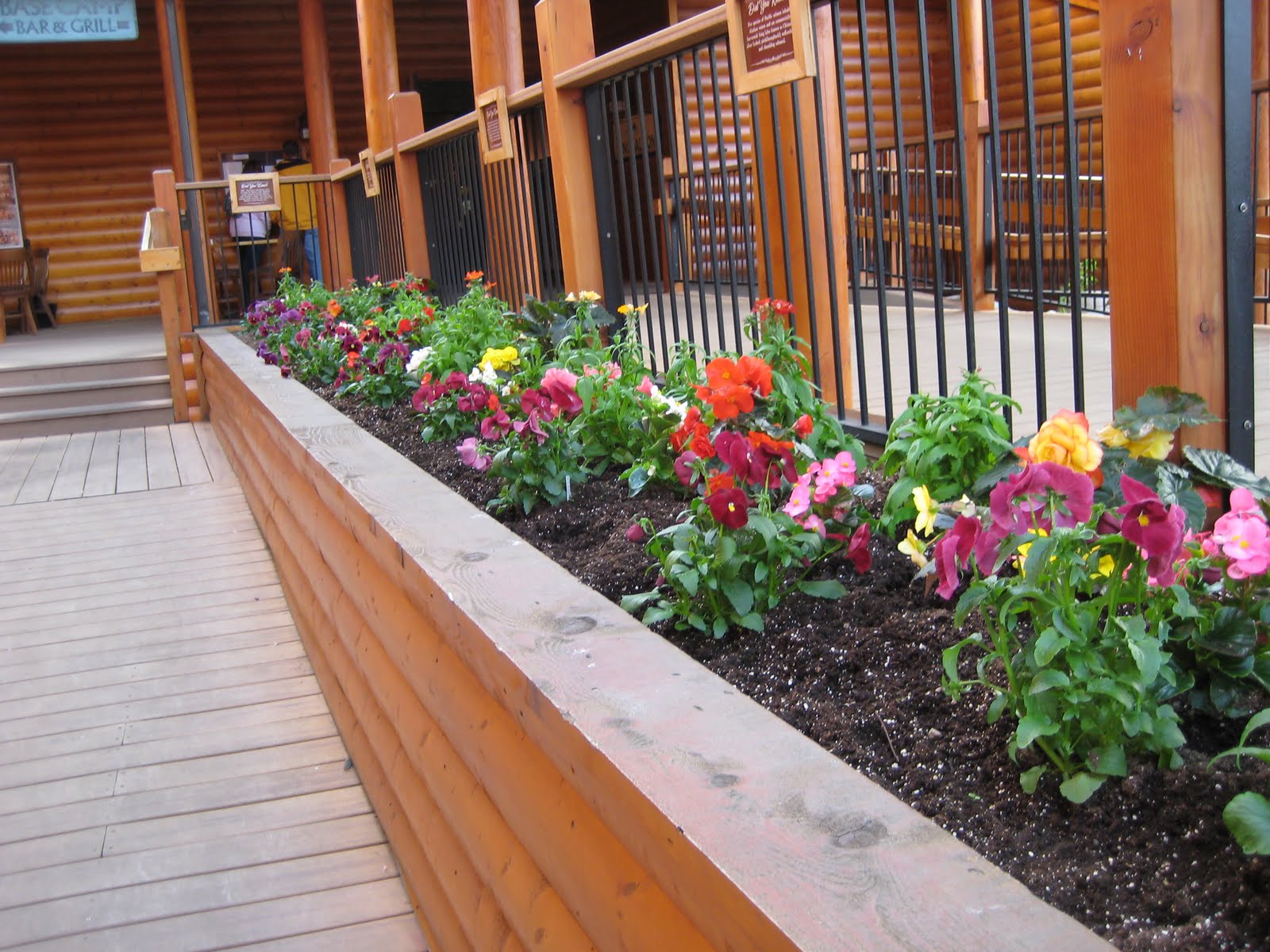
Head groundskeeper Ryan keeps these looking good. This is only a small percentage of the hanging plants...there are hundreds!

Saturday, July 2, 2011

Denali Landscape

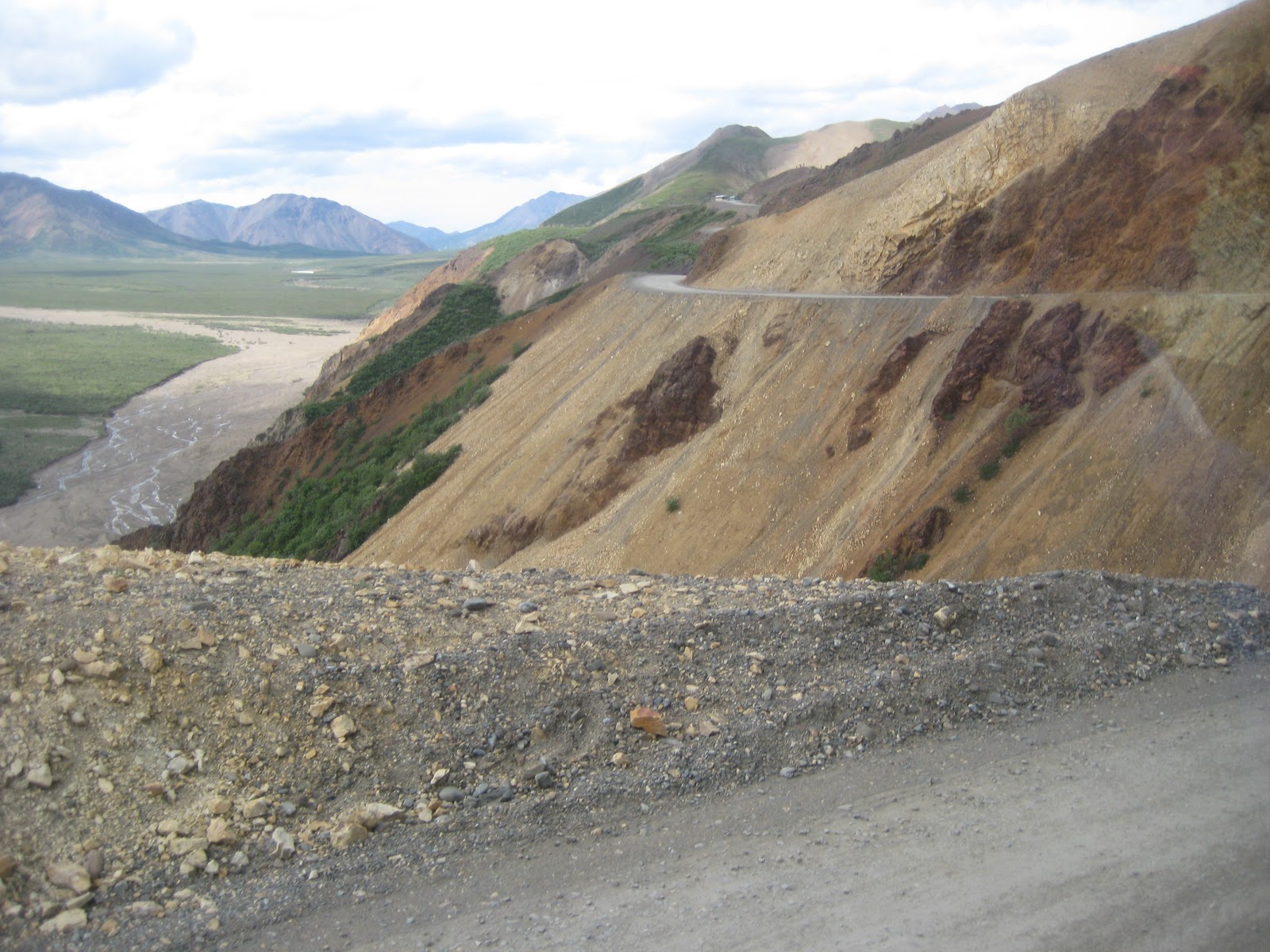
Part of the road with a river bed below. It is a long way down

A few thousand years ago, this big rock was deposited out in the middle of nowhere by a glacier. Known as a Glacial Eccentric.

What other sites are out there at the end of the road?

Denali, the Mountain, is hiding behind those clouds.

Another view of the edge of the road

One of the rivers in the Park.

A Miscellany of Animal Pictures

My little camera does not zoom very well. Also many of these were taken out the window of a bus. But, here are some animals of Denali:
A Snowshoe Hare. See it's big white rear feet. In the winter it changes colors to all white.

A Moose hiding behind a bush. See the little moose to the left. All together there are two Meese, right Katie?

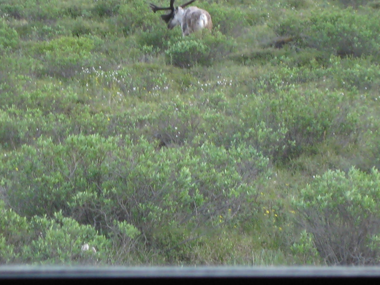
A Caribou hiding behind a small bush. It stood like this for about ten minutes.

A bear from a long way off.

The South end of a North-bound Caribou.

Sunday, June 26, 2011

Take a Hike, Bill

For the first time in 25-30 years I actually went out and hiked. On purpose.
What was I thinking?

Not far from the lodge there is a trail called Horseshoe Lake Trail. We pass by the trailhead everytime we pick people up at the train station and take them to the lodge. When we go past the trailhead, I tell them that this trail is fairly easy, only 1.6 miles round trip, there are beaver in the lake, and birds abound, people have seen porcupine and other wildlife as they are walking.
For some reason I decided that maybe I should see if I am really telling them the truth.
So I started out. The first thing I encounter is a little sign with very small lettering saying that the trail drops 200 feet in .8 miles. Well, says I, that doesn't sound too bad, so I continue on. It is not bad. about 1/4 of the way down there is a bench with a very pretty overlook of the lake below. But then it gets bad. After the bench, it goes downhill at a pretty steep grade. I make it to the bottom but my legs can tell that I have been walking downhill and they don't want to walk any more.
I reach the lake at the bottom. It is really pretty. There is a beaver dam, but no beaver in site. There are signs of wildlife, some hoofprints and other things that show wild animals have been there. And there are benches. My legs tell me I should sit for awhile, so I do.
The problem with hiking on a trail that goes downhill is that to get back you have to hike uphill. It RISES 200 feet in .8 miles. This doesn't sound as fun as the going downhill part. But I have to get back somehow and I don't see any escalators nearby, so I start the ascent. My legs want to continue sitting on the bench.
I am moving along slowly, stopping frequently to gasp, uh, get my breath. While I am walking in between one of these rest stops I hear a noise behind me on the trail. There are two kids, about 10-12, who are running up the trail. Running!! They pass me in a cloud of dust. A few minutes later, a man and woman come up the hill, gasping a lot like I am. I ask if those kids belong to them and they acknowledge ownership. "Tell them they are showoffs" I say with difficulty while trying to catch my breath.
Eventually, I get back to the trailhead and sit on a bench waiting for the shuttle bus to pick me up. My legs are happier but let me know that they are not pleased with me. I promise them that I will not do this again soon.
I have decided that I must change what I am telling the tourists as we go by while sitting comfortably in the nice motor coach. This trail is grueling, you need to be a skilled mountain climber to get down and up without risking the need for medical help. Be happy sitting in the great room of the lodge and watching people go by.
Here are some pictures to proove that I actually did this crazy thing.

The view from the overlook. It is so far down!

The lake from the bottom of the trail.

Beaver dam, but no beaver

I think this was the only flat part of the trail.

The red topped buildings are the Princess lodge viewed from the far side of the river while on the torture trail

Saturday, June 25, 2011

Bill Goes to the Dogs Part II

Husky Homestead is a kennel/training facility operated by Jeff King, 21 time participant and four time winner of the Iditarod. The facility is located about 10 miles south of the lodge at the King home.
We saw a demonstration of some of the things the dogs can do, they pulled an ATV around, then we listened to a talk about what it is like to run the race, etc.
Here are some pictures:


Sunday, June 19, 2011

The History of Whittier, Alaska

Six months to the day after the Japanese attack on Pearl Harbor, the Japanese attacked and occupied two islands in the Alutians, Attu and Kiska. It marked the first time American territory had been occupied by a foreign country since the War of 1812.
Attu and Kiska are about 1300 miles from Seattle. Had the Japanese been able to build an airfield of sufficient size, they could have used long range bombers to bomb Seattle.
This threat caused the US military to really get moving to reinforce Alaska. For one they built the Alaska highway, and built several air bases. They needed a port that was as secure as possible to support all of this effort.
They found that Whittier was on a deep water, ice free piece of water near Prince William Sound. It was very isolated, and cut off from everything by mountains. It was also covered by clouds much of the time, so even if an enemy aircraft flew over it, the chances of them seeing the port was slim.
So the Army built a port facility, and cut a tunnel through the mountain, just big enough for a train to pass through. As ships unloaded cargo, it was placed on rail cars and transported throughout Alaska.
After the war, the military continued to use it as a port, but moved out in 1960. The port became a busy commercial fishing base, and there are hundreds of private yachts docked there also. To get vehicles through to Whittier, they had to be loaded on to flat bed rail cars and carried through the tunnel.
In 2000, the Alaska railroad modified the floor of the tunnel to make it possible for vehicles to drive through. Vehicles go through in one direction for about a half an hour, then it switches so traffic flows the other direction.

The tunnel is the longest vehicle tunnel in North America, 2 1/2 miles long.

Note the tall, skinny opening in the center of the A-frame. That is the opening to the tunnel at the Whittier end (other end looks the same) . Vehicles are lining up and waiting for the traffic to change directions. The sign is saying the change will occur at 6:00am. We got up at 4:45 to make the 6am tunnel opening.